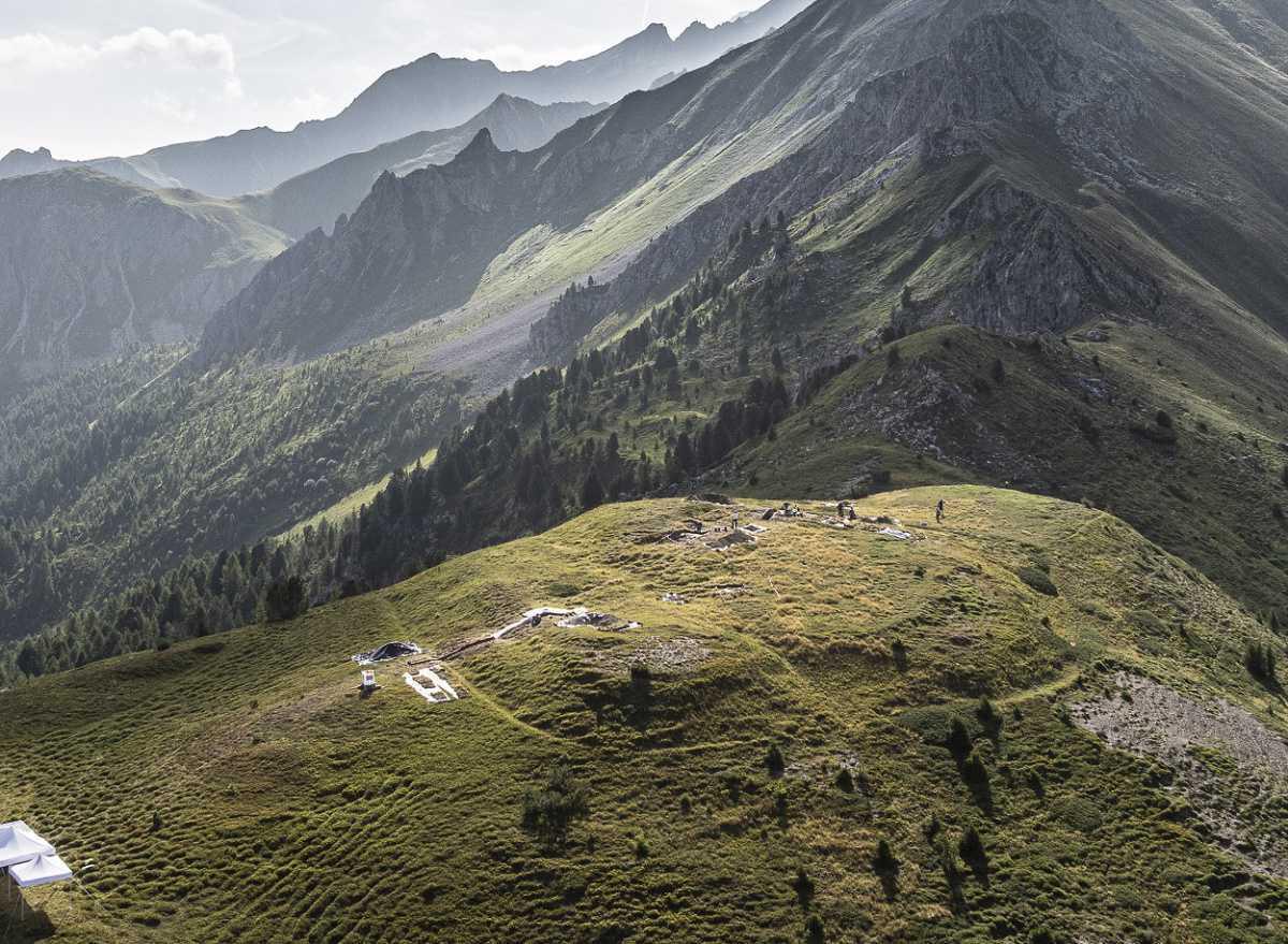
Archaeologists from the University of Basel, in collaboration with the Archaeological Service of Graubünden, have discovered a roman military camp in the Colm la Runga corridor.
The researchers were investigating the site of an ancient battlefield in Oberhalbstein, where the Romans were campaigning against the local Suanetes tribe (identified as Raeti by Pliny) for dominance of the mountainous Alps.
Following a LiDAR survey of the surrounding area, archaeologists identified the trace remains of a Roman military encampment at an elevation of over 7,200 feet above sea level.
Light Detection and Ranging (LiDAR) is a remote sensing technique that uses pulsed laser light to measure distances to the Earth's surface. By analysing the time it takes for the laser pulses to return and the wavelengths involved, LiDAR can be used to compile detailed digital maps of the landscape.
The camp is fortified with three ditches and a rampart, occupying a stragic position that enabled defenders to control access to the surrounding valleys via mountain passes.
Following a series of geophysical surveys, exploratory excavations have unearthed weapons used by the soldiers, such as slingshots and shoe nails. Some of the slingshots are stamped with the mark of the 3rd Legion, who fought at the battles of Crap Ses Gorge and on the Septimer Pass alongside the 10th and 12th Legions in 15 BC.
According to the researchers, the discovery of a Roman military camp in Graubünden allows for precise tracing of the Roman forces’ advance 2,000 years ago from Bergell over the Septimer Pass to the Tiefencastel area, and onward toward Chur and the Alpine Rhine Valley.
Header Image Credit : Andrea Badrutt
Sources : Canton of Graubünden


