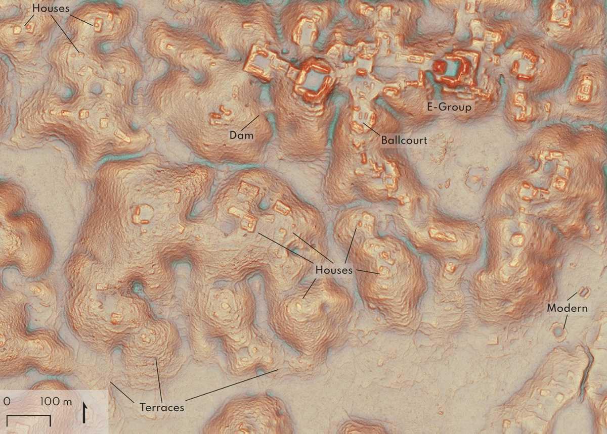
A study published in the journal Antiquity has revealed 6,674 previously unknown Maya structures and a lost city in an unexplored area of Campeche, Mexico.
Using LiDAR mapping technology, archaeologists from Tulane University, the Instituto Nacional de Antropología e Historia in Mexico, and the University of Houston, analysed data from a previous LiDAR survey conducted to monitor carbon levels in Mexico’s forests.
LiDAR, meaning Light Detection and Ranging, is a method of remote sensing using light in the form of a pulsed laser to measure ranges (variable distances) to the Earth. The differences in the laser return times and wavelengths can be used to compile a 3-D digital map of the landscape.
"Ecologists and engineers had conducted lidar surveys of some of these regions for unrelated studies," said lead author Luke Auld-Thomas. "So, I wondered if existing lidar data might cover this uncharted area."


