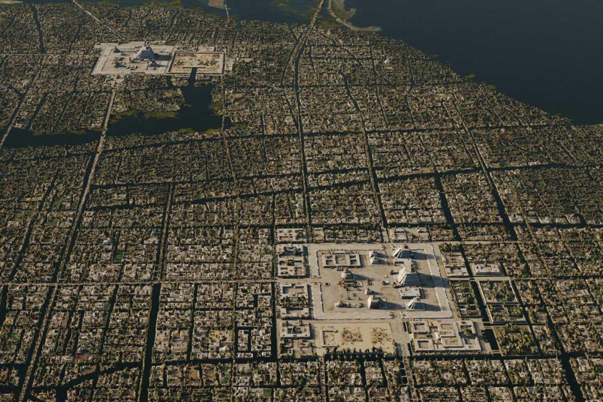
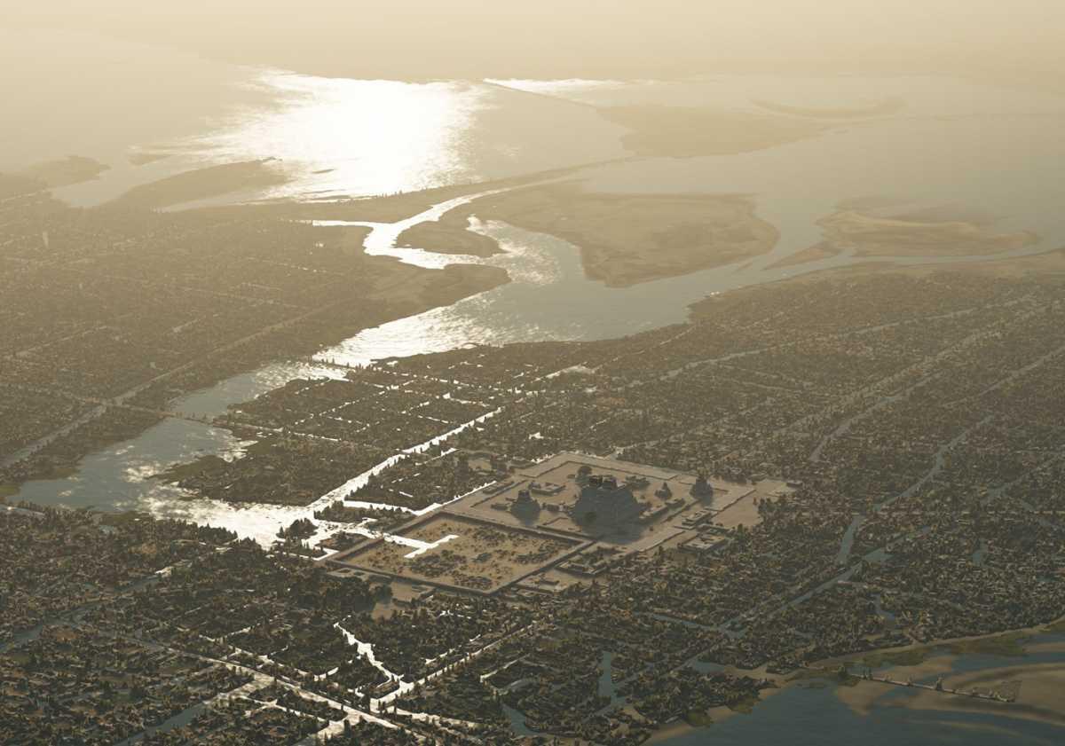
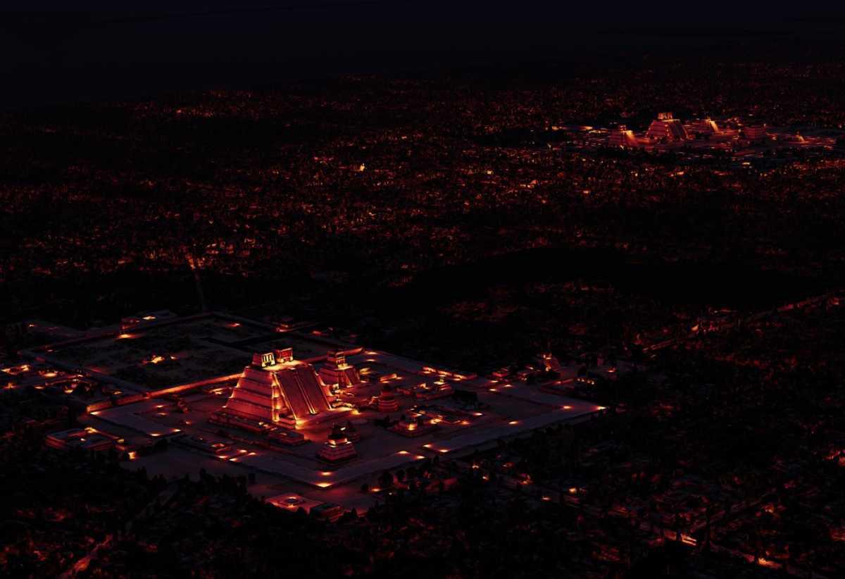
Thomas Kole, a Dutch born Technical Artist, has constructed a 3D interactive map of the Aztec capital of Tenochtitlan.
Kole is widely known for the artistic representations of Tenochtitlan he presented in his “A Portait of Tenochtitlan" project first published in 2023.
Now as Mexico celebrates 700 years of Tenochtitlan, Kole has published a 3D interactive model made available to the public.
Visitors can explore the city from a fully adjustable bird’s-eye perspective, not as a flat map, but as a living, three-dimensional view. The sunlight glimmers across Lake Texcoco, smoke rises from the distant volcanoes, and the houses and chinampas stretch out below.
The sun’s position can be shifted to reveal the city at different times of day, while optional overlays display historic place names, modern metro lines, and key geographic landmarks.
“Anyone can explore Tenochtitlan from any angle in 3D, from their computer or smartphone, completely free. It is an immersive way for a general audience to learn more about this pre-Hispanic metropolis, as well as a tool for researchers and artists,” said Kole.
Tenochtitlan was situated on a raised islet in the western side of Lake Texcoco, which is now the historic part of present-day Mexico City. The altepetl (city) was founded by the Mexica, a Nahuatl-speaking indigenous people of the Valley of Mexico, who entered the Basin of Mexico after the decline of the Toltec civilisation.
The Mexica transformed the islet using the chinampa system, creating rectangular areas of fertile arable land to grow crops on the shallow lake beds. The settlement experienced rapid growth, evolving into a formidable city-state and becoming an integral part of the Triple Alliance alongside Texcoco and Tlacopan.
Visit the project website by clicking here
Header Image Credit : Thomas Kole
Sources : Thomas Kole


